Hiking route: Kilve Beach and Beacon Hill | Somerset
Nov 19, 2024
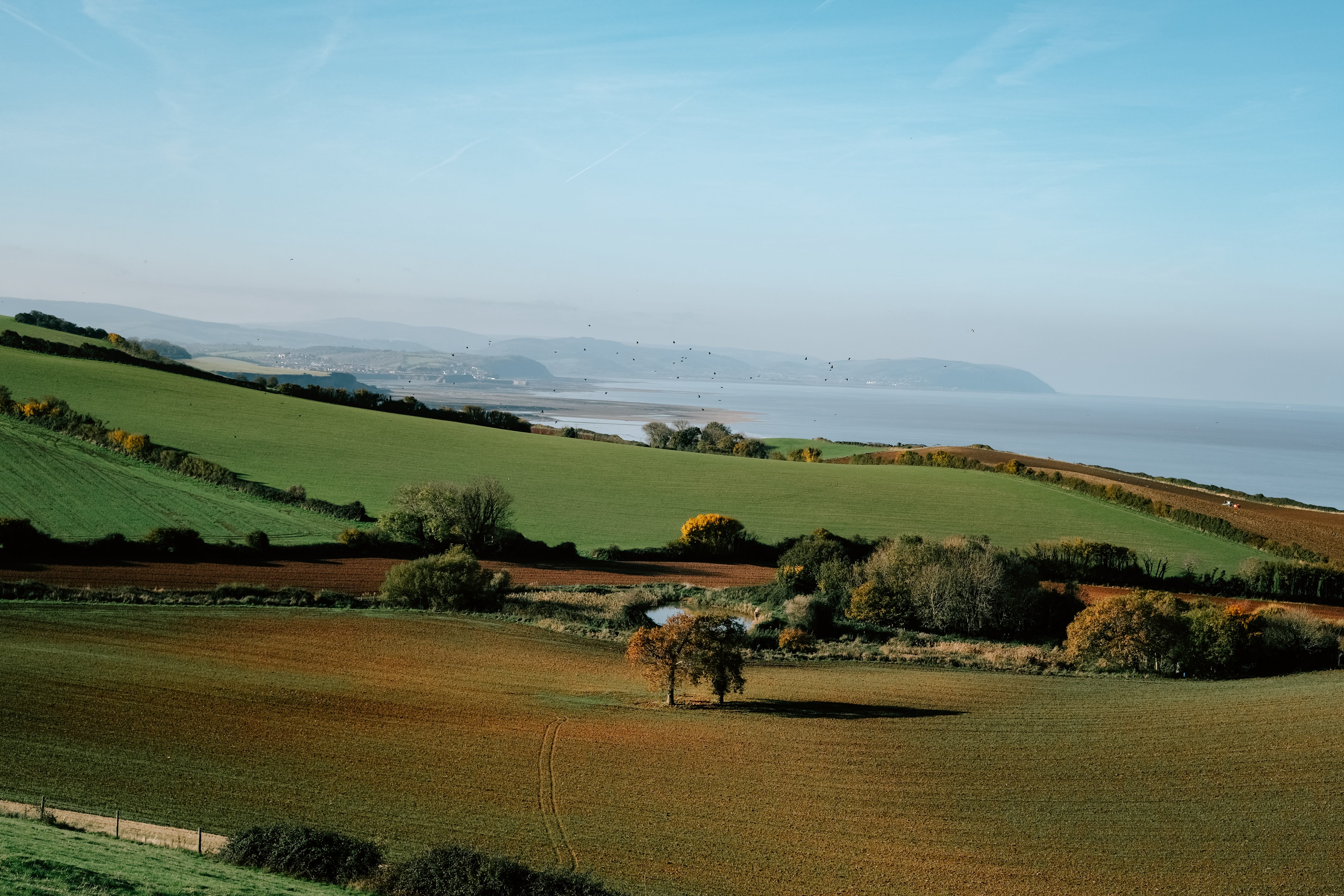
Just west of Bridgewater in Somerset, the Quantock Hills are one of my favourite places and often overlooked in favour of her neighbours Dartmoor and Exmoor, but this is one of the reasons I love it so much - it’s quiet and underrated. A walk around the Quantocks can offer such a wide variety of terrain; you can walk over rolling heathlands, through ancient woodland and along fossil rich beaches, all in a 12km day hike. Photos can never do this place justice as it always gives off a magical feeling whenever I visit, something I just can’t capture on camera. A designated SSSI, there have been plenty of incredible wildlife encounters I’ve experienced on my walks here, from herds of deer galloping across the moor to rare fungi hidden amongst the ancient trees. Below I’ll be sharing one of my favourite walks from the area - I hope you enjoy!
Stats:
Distance: 12km / 8 miles
Time: ~5 hours (inc stops)
Ascent: 376m
Grade: Intermediate
Terrain: Muddy footpaths, stream crossings, rocky ground, gravel tracks and grassy paths.
Parking: East Quantoxhead Car Park
The Route: You can follow the route on the OS maps app here
We are running a group hike around this route on the 23rd November 2024. Come and join us!
You can also download a printable route card for this hike in The Adventure Girls Club Membership. Join here.
The route:
1. East Quantoxhead to Pardlestone Hill
Once you’ve parked up, turn right out of the car park and follow Frog Street all the way back to the A39. Once you’ve reached the busy A39, carefully cross straight over to Townsend Farm and continue walking through the farm. Follow the public footpath arrows through the farm, you will head left over a bridge and join a farm track on your right. Follow this track for a while, you should be able to hear a stream on your right.
You will then get to an open field, continue through this field sticking to the right side until you reach another gate. Head through this gate to another open field where you will need to walk through a gap in the hedge on your left, crossing over a small stream, and start walking uphill to a group of trees at the top of the hill.
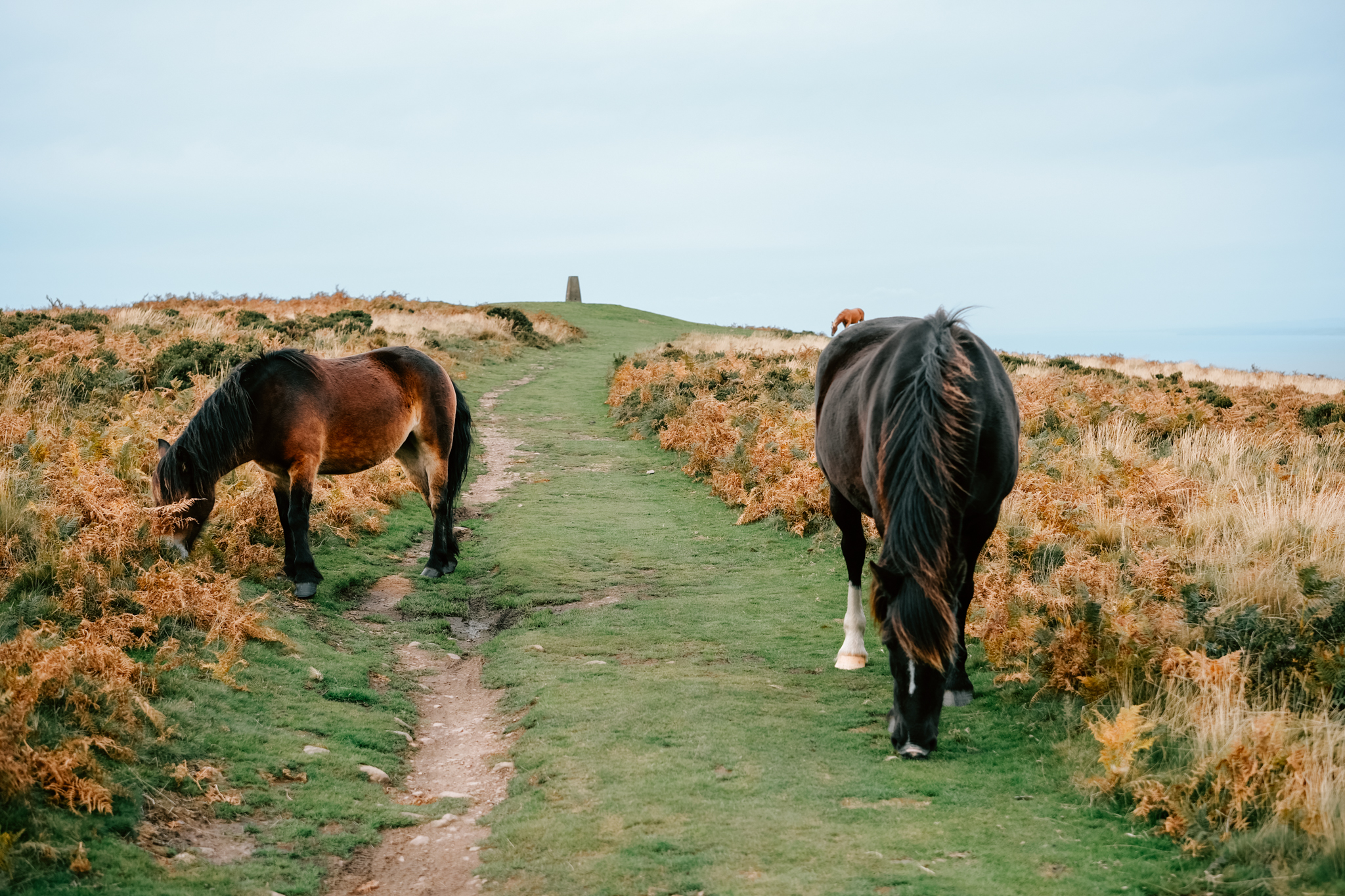
Once you’re at the trees, you should be able to see a small metal gate in the top corner of the field, walk through this gate into the next field (where you may see some horses), turn left as soon as you get into the field and continue to the next gate. You’ll then come onto a farm track, cross over the track and you’ll see a grassy footpath with 2 fences either side heading diagonally through the field. Follow this track to the next gate and continue through to the next field, following the path until you reach a country lane.
Turn right when you reach the country lane and head steeply uphill until the lane starts to bend left through some gates, don’t walk through these gates, instead turn right and follow the footpath into the woods. You are now on open access land.
2. Pardlestone Hill to Beacon Hill
Follow the footpath uphill until you get to a large wooden gate and a signpost for several footpaths. Head through the wooden gate and continue straight uphill until you get out on the open heathland. You want to continue following the track that heads uphill until you get to a footpath crossroads, where you’ll join a very wide path and start walking right continuing uphill.
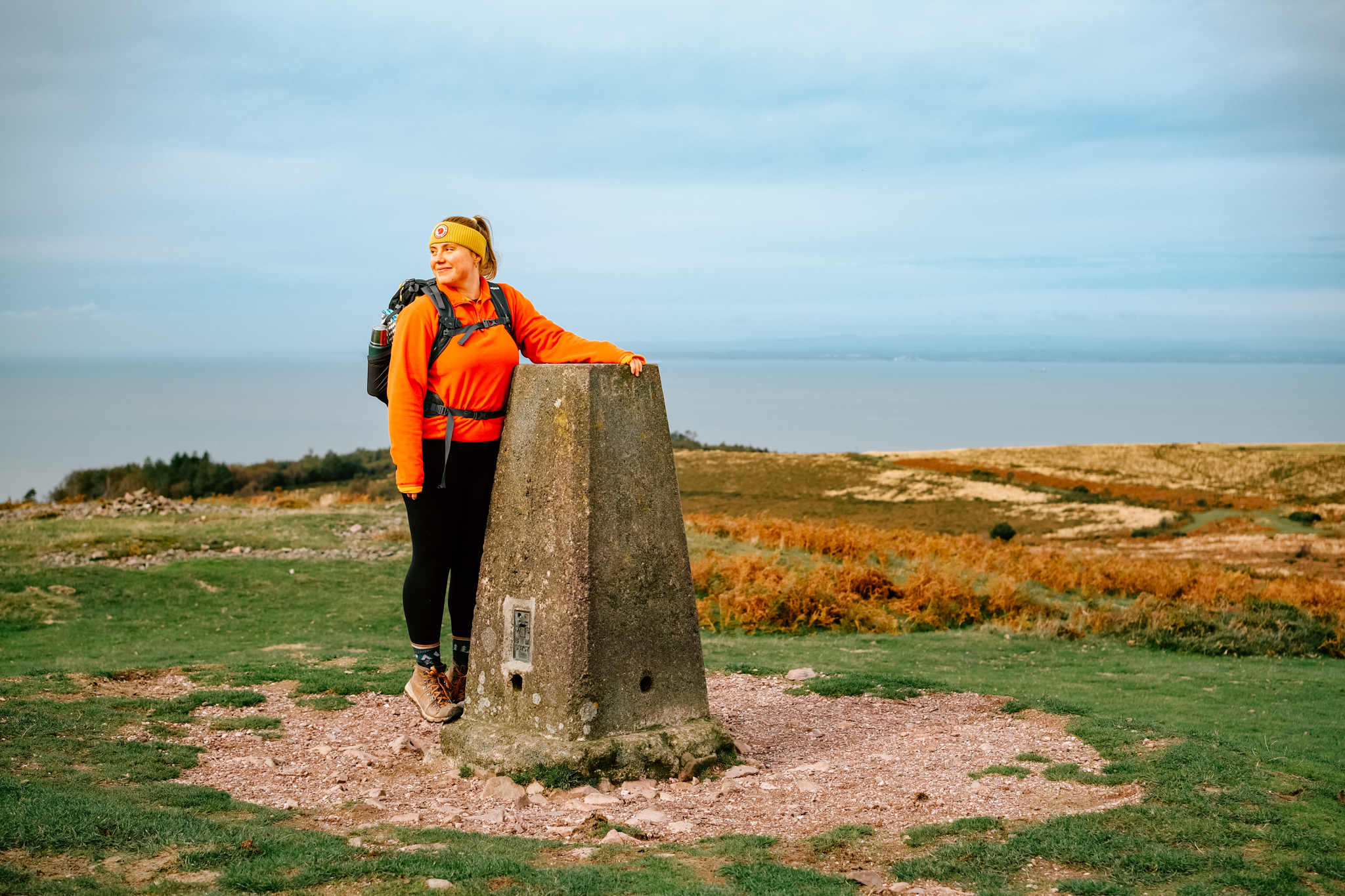
You’ll get to another footpath crossroads, continue straight over, gradually climbing further uphill. If the weather is clear you should soon start to see a trig point in the distance, this is where you are heading to.
You’ll reach a fork in the footpath where you will also see a wooden post with some spades hanging, continue uphill along the left hand path.
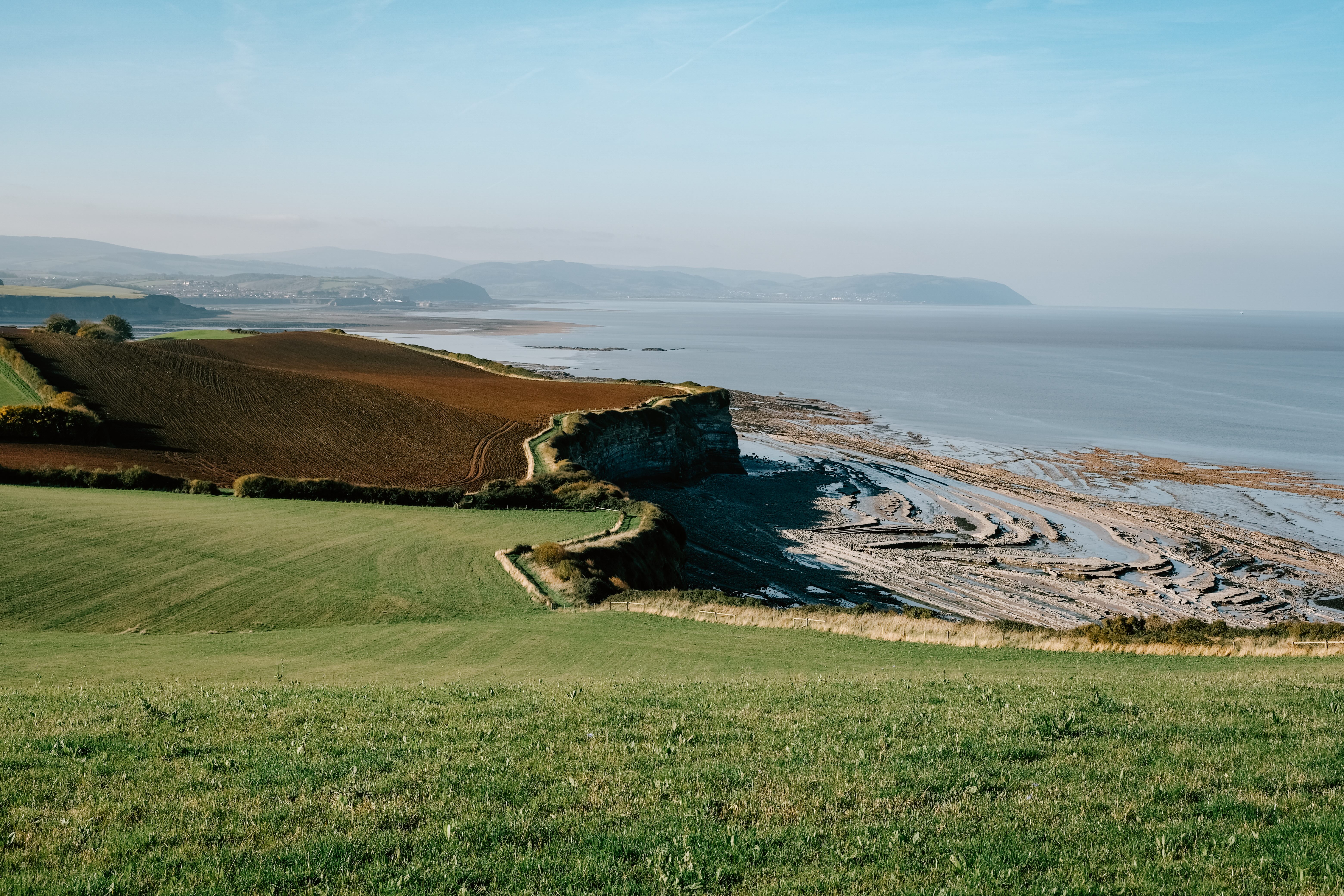
You’ll then get to another footpath crossroads, take the right hand path towards the trig point, continue uphill until you reach the trig point. You will see views all across to Minehead, Exmoor, the Bristol Channel and Wales.
3. Beacon Hill to A39
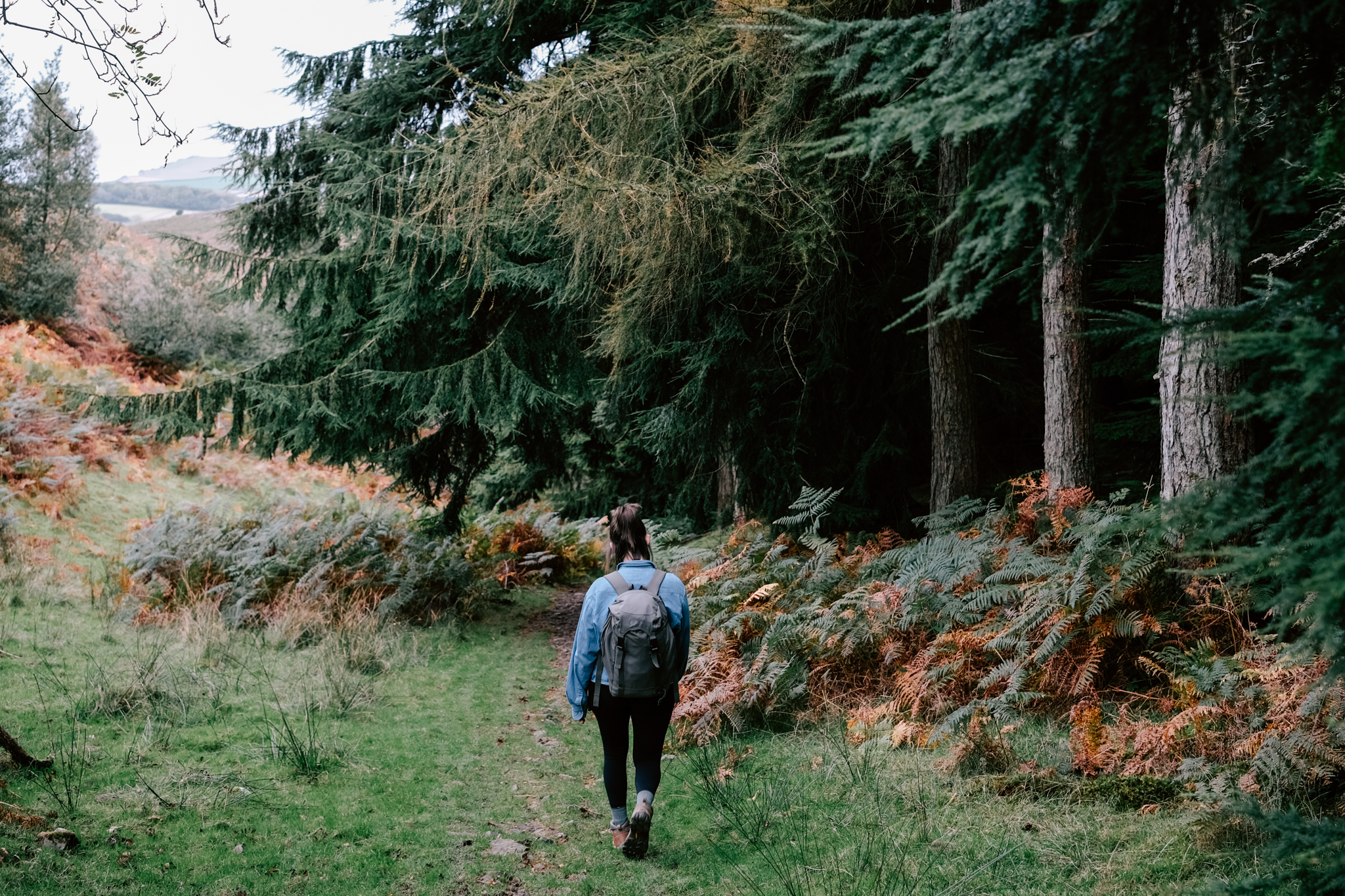
Once you’ve taken in the views at the trig point you will need to start heading downhill. There will be quite a few paths to choose from - standing on the path you came up, you want to follow the middle path downhill, heading slightly right until you reach a wider track. If the weather is clear, you will see a cluster of trees in a valley on your right, you want to follow the path that heads towards that cluster of trees. This is Herridge Combe.
Continue through Herridge Combe with the dense woodland on your right until you cross over a stream. The path will follow the stream downhill, occasionally criss crossing over it (make sure you are wearing ankle high boots!) until you get to a wooden signpost and a small wooden footbridge.
Follow the sign for ‘Perry’ and cross over the little wooden bridge. The path will start taking you uphill again and will follow a fence line on your right hand side. Continue following this path for while.
You will eventually come across a wooden signpost, follow the sign for the A39 and head through the wooden gate, following the footpath until you get to a cute thatched cottage where the footpath becomes a lane. Follow the lane all the way until you get to the A39.
4. A39 to Kilve Beach
Carefully cross over the lane straight through the gap in the hedge to the field in front of you. Turn right once you are in the field and walk around the edge of the farmers field. You’ll go through a couple of metal gates into a few more farmers fields. Keep walking in the direction of the sea until you reach the coast path.
Once at the coast path, turn right and keep following the signs for the England Coast Path all the way to Kilve beach.
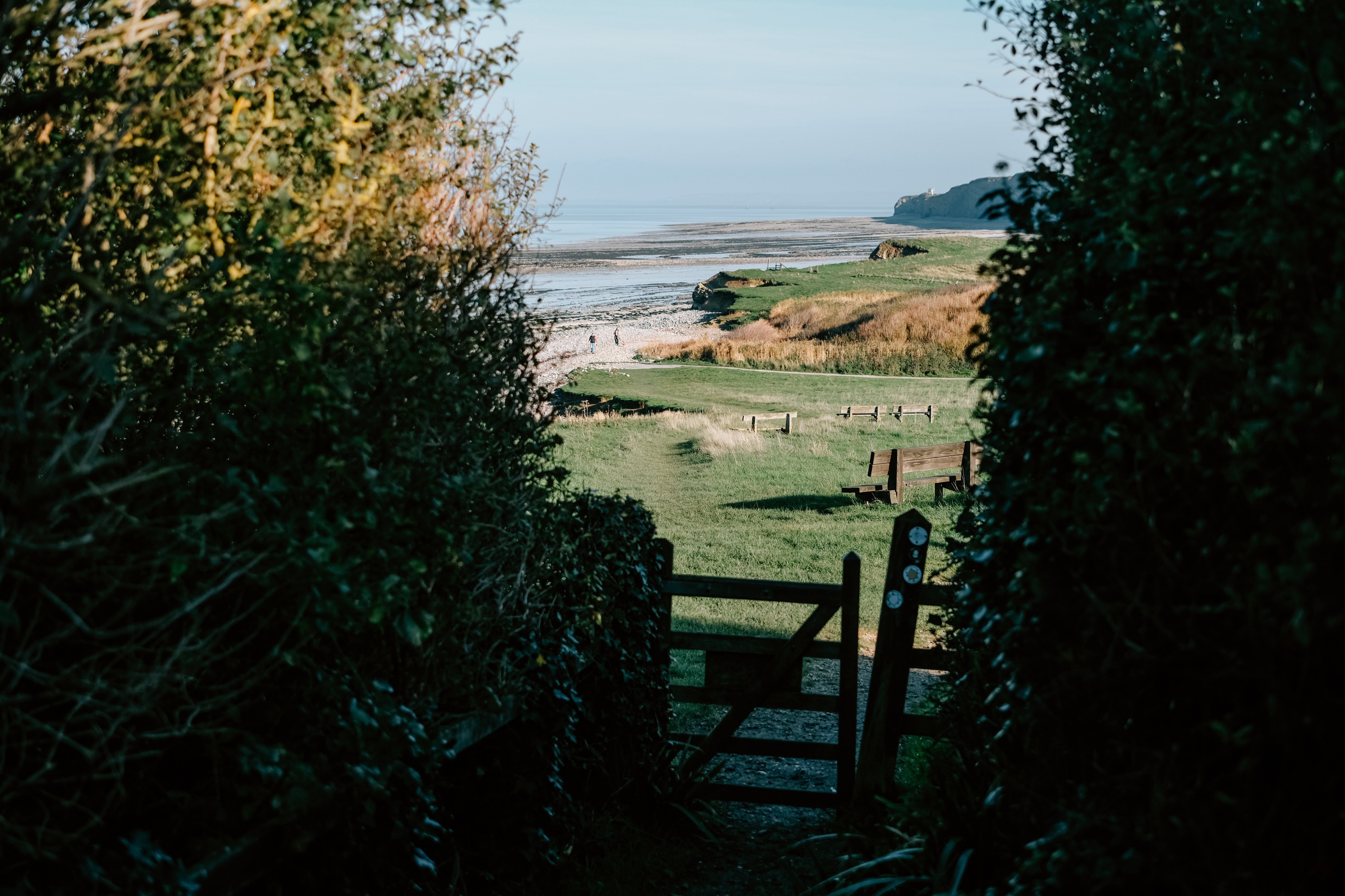
You’ll go through a little wooden gate and past a few benches until the path reaches a pebbly beach. This is Kilve beach. When the tide is out you can see geological rock formations and may even find some fossils.
5. Kilve Beach to East Quantoxhead
Once you’ve explored the beach you will start heading inland towards Kilve beach car park. Once you’ve got to the car park, continue walking along the lane through the car park until you get to the old chantry ruin where there is also a tea rooms if you want to to stop for a little refreshment.
Once you are past the chantry, just before you reach the church you will need to head right onto a farmers track into some fields. Keep following this track through a few fields, once you reach the woodland, this will be on your left hand side.
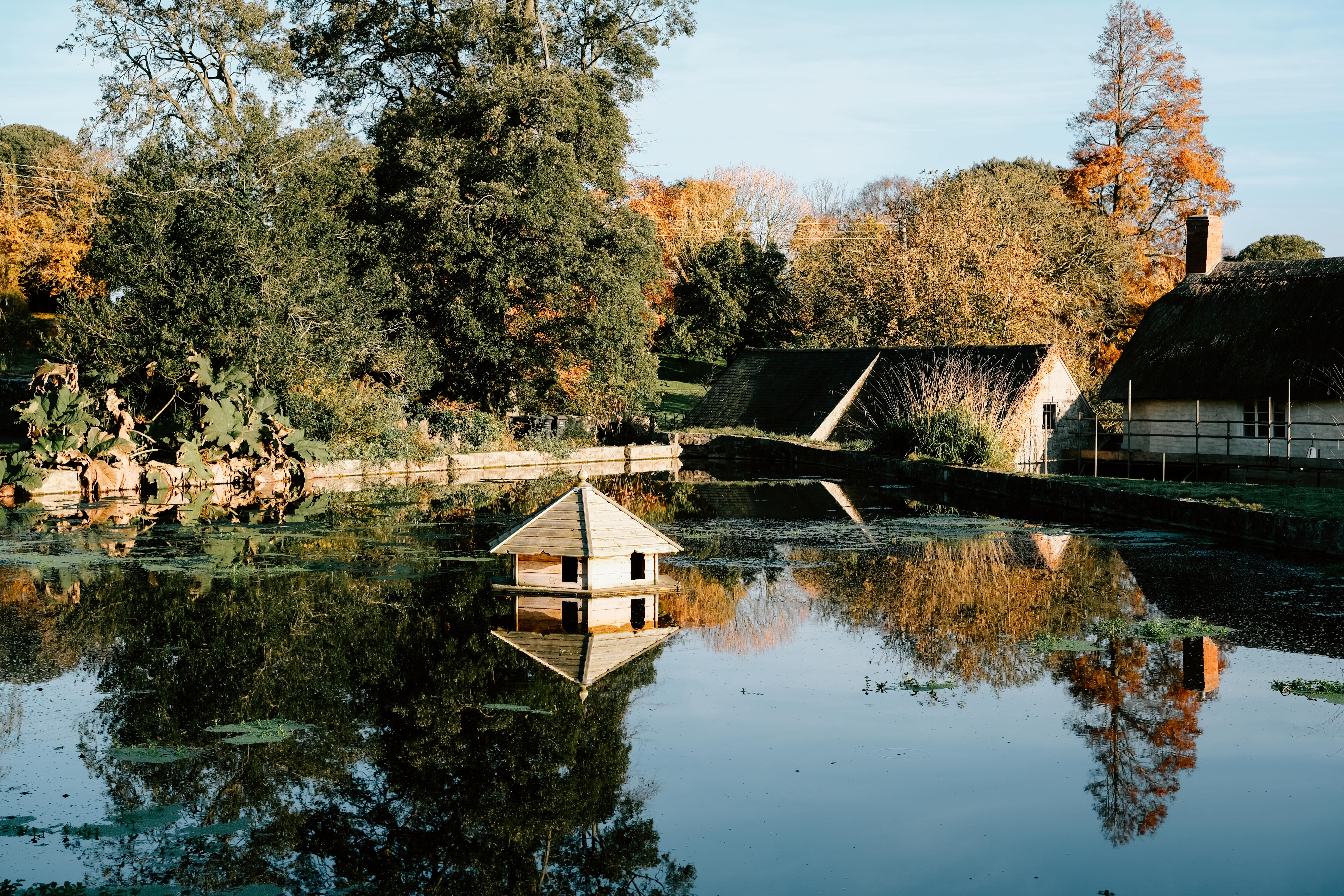
Once out of the field you will be on a track and come across a wooden side. You want to follow the direction of East Quantoxhead where you will eventually see the pond and then the car park. This is where the hike ends.
We are running a group hike around this route on the 23rd November 2024. Come and join us!
You can also download an printable route card for this hike in The Adventure Girls Club Membership. Join here.
Want to know more about The Adventure Girls Club membership?
Stay connected with news and updates!
Join our mailing list to receive the latest news and updates from The Adventure Girls Club.
Don't worry, your information will not be shared.
We hate SPAM. We will never sell your information, for any reason.